Sells plot and position
Aerial shots show boundaries, acreage and approach, the things that justify the asking price on land and country homes.
CAA-licensed drone photography that reveals plot size, position and setting, the detail that sells land, country homes and developments in Northern Ireland.
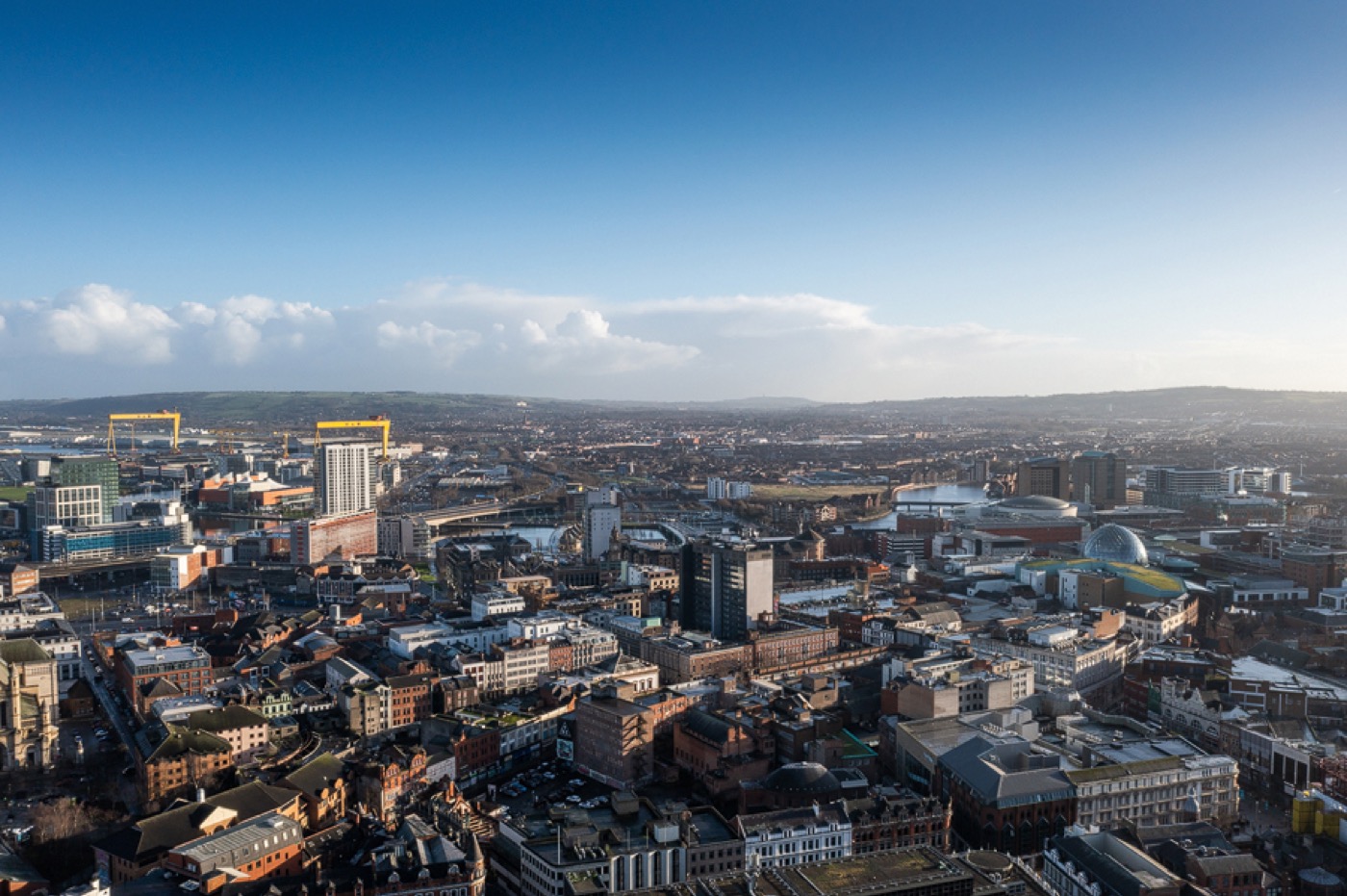
Some properties cannot be sold from the ground. A home on acreage, a coastal site, a development plot or a property whose biggest asset is its position needs to be seen from the air. Phantom flies CAA-licensed drones to capture the shots that show a buyer exactly what they are getting.
Aerial photography frames the boundary and plot, the approach and driveway, and the relationship between the property and what surrounds it, sea, countryside, golf course or town. For rural and premium Northern Ireland listings it is often the image that makes a buyer pick up the phone.
We fly legally and safely: fully licensed and insured pilots, airspace checks and permissions handled, so your agency carries no risk. Aerial is best booked alongside a photography or video shoot so everything is captured in one visit.
Aerial shots show boundaries, acreage and approach, the things that justify the asking price on land and country homes.
Show the sea view, the golf course, the parkland or the commute, the lifestyle reasons a buyer chooses the area.
For plots, new builds and commercial sites, an aerial is the clearest way to communicate scale and opportunity.
CAA-licensed, insured pilots with airspace permissions handled means your agency carries none of the compliance burden.
Add aerial to a photography or video booking and we shoot it all on the same appointment, no extra access to arrange.
We can deliver aerial stills for the listing and aerial footage cut into your property video from the same flight.
Add aerial to a photography or video order; tell us about the site and any access notes.
We confirm the location is clear to fly and arrange any permissions before the visit, handled entirely by us.
A licensed pilot captures the plot, approach and surroundings as stills and, if booked, video.
Edited aerial images land with your team named to your reference, ready for portal and brochure.
Yes, commercial drone photography requires CAA authorisation and insurance. All Phantom flights are flown by licensed, insured pilots, so your agency carries no compliance risk.
It is most valuable for properties on land or acreage, rural and coastal homes, development sites and any property where the position or setting is a key selling point.
In the large majority of locations, yes. Some areas near airports or restricted airspace need prior permission, which we check and arrange before the visit.
Yes. From the same flight we can deliver aerial stills for the listing and aerial footage edited into your property video tour.
Yes. Capturing aerial on the same visit as your photography, floor plan or video is more cost-effective than a separate appointment.
Professional property photography that showcases your property's best features, with expert photographers, tailored services and fast delivery.
View →Engage buyers with high-quality property video tours and drone footage that bring properties to life, tailored to your needs.
View →Showcase your commercial properties with stunning, high-quality photography by Phantom, tailored to highlight every space.
View →Book online in under a minute, or talk to the studio about a branch-wide package.